The Fantastic Serra de São Miguel (Saint Michael’s Hill)
Code: SSL PR1
Geographical location: Sousel
Type: Circular walk
Main themes: Rurality
Distance: 10.6 km
Approximate duration: 3 to 4 hours
Type of surface: Country paths and regional roads.
Ascent/descent: 227 m
Minimum altitude: 259 m
Maximum altitude: 385 m
Level of difficulty: Medium
Accessibility: Suitable for visually impaired and blind walkers.
Certifications: Approved by the FPCM (Portuguese Camping and Mountaineering Federation)
Start and finish: Rua da Senhora da Orada, in front of the church.
Geographical coordinates: N38º57'07'' W07º40'44''
Geographical coordinates: 38.952213º -7.678980º
Where to park: Public car park at the site
Useful Contacts:
Sousel Tourist BoardTelephone: +351268 550 100;
E-mail: geral@cm-sousel.pt
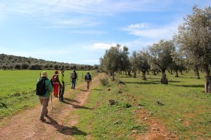
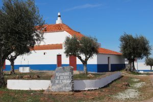
This is a land where the plains are interrupted by gentle but impressive hills of limestone uplands, with the Serra de São Miguel standing out on the landscape. Curiously, there is a bullring at the top of the hill, alongside an old chapel dedicated to the sword-bearing Archangel Michael. From the top of the hill you can admire a panoramic 360º view over the Alentejo’s magnificent plains.


