From Santa Clara to the Dam
Code: ODM PR4
Geographical location: Odemira
Type: Circular walk
Main themes: Rurality, Scenery, Nature
Distance: 10 km
Approximate duration: 3 to 4 hours
Type of surface: Country paths, walking trails
Ascent/descent: 340 m
Minimum altitude: 45 m
Maximum altitude: 210 m
Level of difficulty: Low
Accessibility: Not suitable for people with reduced mobility.
Certifications: Approved by the FPCM (Portuguese Camping and Mountaineering Federation)
Start and finish: The garden at the entrance to Santa Clara a Velha
Geographical coordinates: N37º30'48'' W08º28'36''
Geographical coordinates: 37.513340º -8.476912º
Where to park: Public car park at the site
Useful Contacts:
Santa Clara a Velha Tourist OfficeTelephone: +351 283 881 358
E-mail: turismo.santaclaravelha@cm-odemira.pt
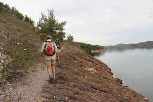
In Santa Clara a Velha, history shows the importance of a controlled crossing point, such as the one implemented by the Order of Saint James of the Sword when they built the Chapel of Santa Clara de Assis (Saint Clare of Assisi). Here, we have the River Mira playing an important role, as the reservoir created by damming its waters supplies the entire region through a complex and well laid-out network of channels and distributors. Although man-made, the scenic setting for the lake is stunningly beautiful and anyone walking along its banks is sure to feel privileged.
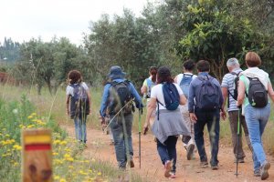
This is a marvellously scenic route thanks to the mirror-like waters of the Santa Clara Reservoir. Before you get to the dam, the setting is the bottom of a valley alongside the green banks of a stream and farmland. The way back takes you over the hilltops, through thick woods of eucalyptus trees, affording splendid views.


